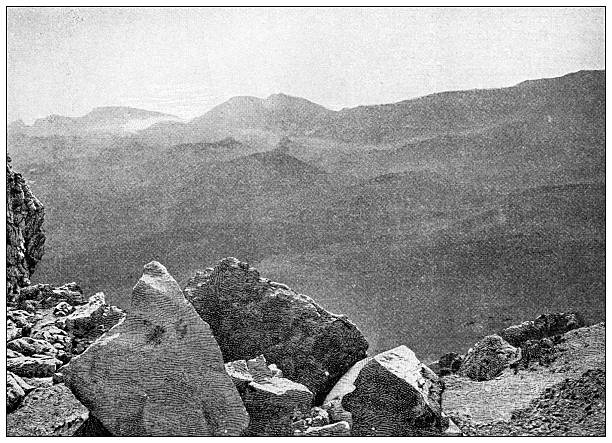
Haleakala is not a single peak but a shield volcano, a broad dome built by countless lava flows. It began as molten rock rose from beneath the Pacific and poured out across the seafloor, layer upon layer, until it grew more than 10,000 feet above the ocean. That gentle profile is classic shield volcano geology: fluid basalt lava traveled far before cooling, creating wide slopes rather than steep, cone-shaped mountains. Over time, eruptions shifted and the summit became a complex landscape of cinder cones, spatter ramparts, lava flows, and ash deposits. When you hike here, you are walking across the exposed story of East Maui.
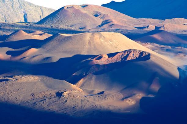
The summit basin known as Haleakala Crater is one of the best places to see volcanic landforms up close. It is not a true crater in the simple sense, nor is it a classic caldera formed by a single collapse. Instead, it is a broad depression shaped by erosion, later decorated by fresh eruptions. Ancient streams and weathering cut into the volcanic pile, and later lava flows and cinder cones erupted within the basin, giving it a moonscape quality. This combination is why the crater can feel both ancient and raw. Colors shift from rust red to charcoal black to golden ash, especially at sunrise and sunset.
Cinder cones are the most dramatic features on the crater floor. Puu o Maui and Puu o Kona rise like dark, gritty hills against the lighter ash. They formed when gas-rich lava fountained into the air, fell as hot fragments, and built steep-sided cones around their vents. Hikers on the Sliding Sands Trail descend through fields of cinder and ash, looking across a floor dotted with these cones. The trail is loose, so footing matters. The reward is a perspective no road can provide: cinder cones seen from above, lava fingers spreading across the basin, and the dark rift zones that once fed eruptions.
Haleakala’s rift zones are another key to the landscape. The northwest and east rift zones act like weak seams in the volcano, guiding magma away from the summit. They influence where eruptions occur and how lava travels. On the ground, hikers may notice old lava tubes, layers of pahoehoe and a’a, and dikes that once carried magma through the mountain. Pahoehoe is smooth, ropy, and billowy. A’a is sharp, clinker, and rough. Both tell a story of lava temperature, gas content, and slope. Lava tubes form when the outside of a flow crusts over while molten rock drains away, leaving a tunnel. Some are hidden, some collapse, and all remind you that this island was built by fire.
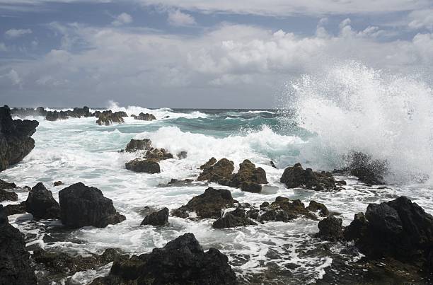
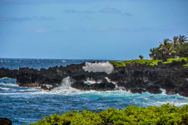
Water and wind have had a long time to work on the volcano. Trade winds hit Maui’s windward side and drop rain, carving deep valleys and feeding rainforest. The leeward side, including much of the summit and Kula slopes, is drier. This rain-shadow effect creates a startling range of landforms within a short drive: misty ohia forest, bamboo groves, dry cinder desert, and grassy ranchland. On the wet side, streams cut through volcanic rock, creating waterfalls and pools. On the dry side, wind erodes ash and cinder into dunes and gullies. The contrast is part of Maui’s magic.
For hikers, the geology is not just scenery. It shapes every step. The Sliding Sands Trail drops into the basin over loose cinders. The Halemau’u Trail descends via switchbacks on a cliff face. The Kaupo Trail leaves the summit area toward the south coast, a rugged route through changing volcanic and pastoral landscapes. At high elevation, the air is thin and weather changes fast. Sunburn, dehydration, and altitude sickness are real concerns. Bring layers, water, food, and a map. Stay on trail. The summit is a sacred place and a fragile environment. Silverswords, those spiky silver plants, can live for decades and bloom once. They grow in volcanic cinder where few plants survive. Stepping off trail can crush them.
Beyond the summit, volcanic geology continues to shape Haleakala National Park’s Kipahulu District. Here, rain-fed streams drop over cliffs formed by lava flows, creating pools and waterfalls. The Pipiwai Trail passes through bamboo forest, but the rock beneath is still volcanic. The land tells a story of eruption, erosion, and renewal. The same lava that created a harsh summit desert also helped create fertile valleys below.
Whether you are planning your first trip or dreaming from afar, understanding Haleakala’s volcanic landforms makes the experience richer. You begin to see the island not as a static postcard but as a living geological process. The summit may be quiet now, but it is only sleeping. Rain, wind, and time continue to sculpt it. Every trail, overlook, and cinder cone is a chapter in that ongoing story. Hiking here is not just exercise; it is a walk through the forces that built Maui.